|
Sasse Ridge, Stampede Pass and Blewett Pass Snowpack Models Plus Van Epps Pass summer Charts |
|
The .pdf charts linked below are on my Microsoft OneDrive. They show the output of localized snowpack models that generate daily ‘virtual snowpits’. The links should not require signing in to OneDrive. |
|
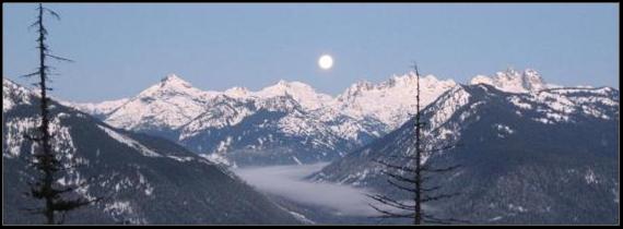
About the snowpack models In 2002 I began playing with a simple model that estimates the recent additions to the Sasse Ridge snowpack ascending from the valley floor. The result is displayed as a bar graph. The model and the assumptions on which it is based are discussed here. Since then I’ve added other bits of data to the output; stuff that I find useful.
Data sources: The Northwest Avalanche Center (NWAC) maintains a large number of excellent telemetry sites in the Cascades, however, there are no NWAC sites close to Sasse Ridge, Cabin Creek or Blewett Pass (Swauk Pass). Fortunately there are SNOTEL sites near these locations that provides hourly data. Telemetry sites give an idea about conditions at a particular elevation. However, a skier would like to know how the snowpack changes from the parking lot the top of the hill, and that’s what these models try to predict. Note: the localized lapse rate data previously used is no longer available so the lapse rate is fixed at 3 degrees / 1000 ft.
|
|
Current Sasse snowpack charts (October 23; running now) Current Stampede Pass snowpack Charts (October 23; running now) Current Blewett snowpack charts (January 2026; running now) |
|
Van Epps Pass temp and precip charts (currently running at 8:10 am daily) Van Epps Pass location (TopoZone map)
The Van Epps Pass HADS telemetry site provides temperature and precipitation data that is pertinent to hikes in the Teanaway. It’s the only site I’m aware of that is close enough to be useful. The Blewett Pass snotel site data is less applicable. This site uses a tipping bucket to measure precipitation which can measure precip as little as .01 inches but it is not heated in the winter and does not function.
|